Hadrian's Wall (1/8)


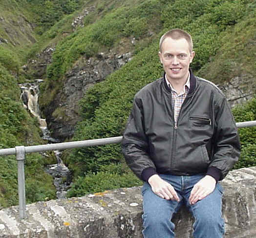
In August 2009 we walked the full length of the Hadrian's Wall footpath from Wallsend in Newcastle on the east coast of England to Bowness-on-Solway on the west coast, a distance of 84 miles.


This simplified map shows the route across England from Wallsend in Newcastle to Bowness-on-Solway on the Cumbrian coast. The numbers indicate the day we walked that section.


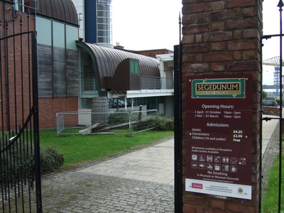
We caught the Tyne and Wear Metro from the hotel to the Roman Fort Segedunum at Wallsend. This is the start of Hadrian's Wall and the official footpath.


From Segedunum we followed the footpath which soon joins the River Tyne through the centre of Newcastle. This picture shows me with the famous tilting Gateshead Millennium Bridge (aka the Winking Eye) in the background. The town Gateshead is on the far bank of the river.


Across the river is the Sage Gateshead, a centre for musical education, performance and conferences. It has a very distinctive shape which makes me think of some form of caterpillar.


Newcastle is famous for having the most inland nesting colony of kittiwakes in the world. Place the mouse cursor on the picture to see some of them under the bridge.


Soon after leaving Newcastle the path passes over the A1.


We stayed overnight at the Keelman's Lodge next to the Big Lamp Brewery in Newburn on the outskirts of Newcastle. The following morning the path took us about half a mile from the house where George Stephenson lived so we made a detour to see it. Put the cursor on the picture for a close-up of the plaque.

CLICK HERE TO CONTINUE


Return To Home Page